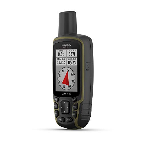
Large 2.6” sunlight-readable color display for easy viewingExpanded global navigation satellite systems (GNSS) and multi-band technology allow you to get optimal accuracy in challenging locations, including steep country, urban canyons and forests with dense treesIncludes routable TopoActive mapping and federal public land map (U.S. only)Go-anywhere navigation with 3-axis compass and barometric altimeterCompatible with the Garmin Explore website and app (compatible smartphone required) to help you manage tracks, routes and waypoints and review statistics from the field